Bay Area Ridge Trail
East Bay Section
December 26, 2010
The Bay Area Ridge Trail is realizing the vision of a
550-mile continuous trail for hikers, equestrians, and bicyclists around the
Bay Area. So far, over 330 miles of trail are open to enjoy today and
protected for future generations. Long-distance trails are all about making
connections. The Ridge Trail links people to open space near where they
live, connects communities to each other, and creates and preserves a
natural corridor for wildlife and critical habitat. Trails satisfy and
sustain us—mind, body, and spirit. The Ridge Trail offers these benefits for
all to enjoy today and as a legacy for future generations.
See an interactive map of the trail
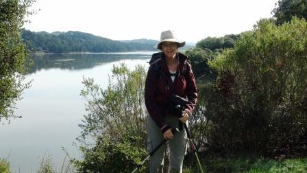 Kennedy Grove
Today Julia and I have completed almost 90% of the East Bay section of the Bay Area
Ridge Trail. We started early in 2010 and have walked 35 miles from Kennedy Grove
Regional Recreation Area (near El Sobrante in the North Bay) through the Oakland
Hills to the Willow Park Golf Course near Lake Chabot in Hayward. We
estimate we have two hikes left to complete the full East Bay section. These last two hikes will take us from Willow Park Golf Course to Cull
Canyon Regional Recreation Area, across Highway 580, and end at the Don Castro
Regional Recreation Area.
Kennedy Grove
We really hope to complete the East Bay section of the Bay Area Ridge Trail
before the end of
2010. It has taken us the whole year because we have been slack and
distracted by the plethora of other great hikes around the Bay Area,
California, and Oregon.
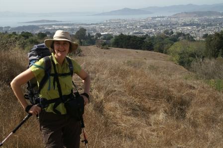 Wildcat Canyon
Because we had an old trail guide, Julia and I
actually started the hike twice. The old guide had us start at the
beginning of the year at Wildcat Canyon.
This was the old starting point; the
trail currently begins at Kennedy Grove. However, it was a terrific walk
from Wildcat Canyon with spectacular views of the bay.
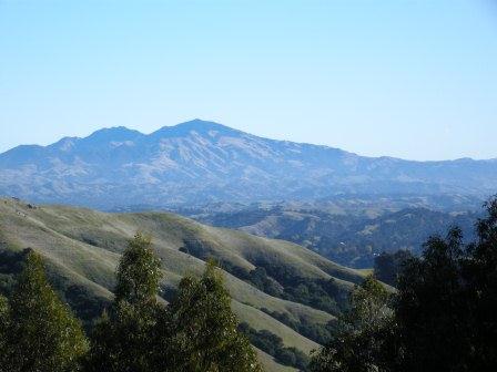 Mount Diablo
The next few hikes took us through Tilden, Sibley
Volcanic, Huckleberry, Redwood, and Chabot Regional Parks. Julia and I have
walked in many of these sections of the hike numerous times before, but it
is always a pleasure to be out on these trails.
December 30, 2010
Boy, Julia and I completed a very big hike today. Our cumulative climb was 3,000 feet, and we walked 14 miles. But we were rewarded with great views of the Bay Area and San Francisco. This hike is the second-to-last hike for us to complete the East Bay section of the Bay Area Ridge Trail.
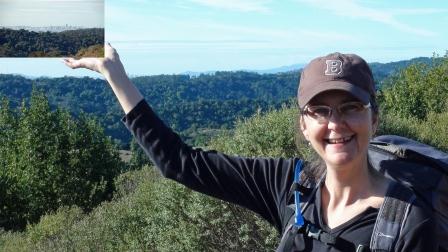 Cull Canyon
We hoped to complete the entire section before the New Year, but we fell one hike short. Oh well, we will get to it in 2011.
Cull Canyon