Brownsville, San Antonio, Big Bend National Park
Flying the Edge of America
Monday, September 8, 2008: Brownsville, Texas
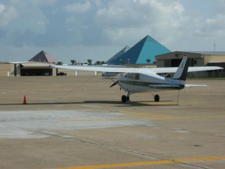 Who knew the Egyptians had been to Galveston?
We left Galveston behind this morning and headed south to
Brownsville, Texas
. Brownsville sits at the southernmost tip of the U.S. portion of the Gulf of Mexico. The weather was clear at departure, but soon clouds began to gather. As we flew, the atmosphere became turbulent, with bubbling clouds threatening thunderstorms near Brownsville.
Climbing to 6,000 feet allowed us to stay above the weather, offering views of a strikingly jagged, snow-white cloudscape. We opted for an instrument flight plan to prepare for the worsening conditions. As we approached Brownsville, thunderstorms encircled the airport, pouring rain and jolting the aircraft. Thanks to 51-Juliet's reliability and guidance from air traffic control, we landed safely, albeit with frayed nerves.
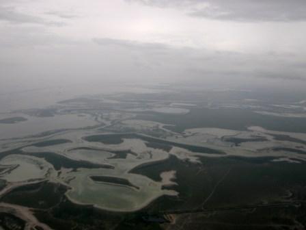 The dramatic Gulf coastline.
Stepping out of the aircraft, we were greeted not by the usual cooling breeze but by oppressive humidity and heat in the 90s. Brownsville, a city blending bustling industry and proximity to the Mexican border, revealed a mix of modest homes, strip malls, and sprawling freeways. Its Civil War history as a Confederate smuggling hub hinted at the region's layered past. Tomorrow, we plan to explore this border town further, possibly crossing into Mexico.
Brownsville Flight Video
Tuesday, September 9, 2008
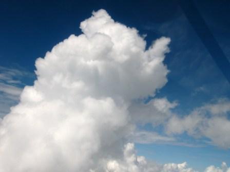 Clouds dominating the horizon.
With Hurricane Ike looming and thunderstorms threatening, we departed Brownsville for San Antonio. Our flight was smooth above the bubbling clouds, though the sight of endless cloud formations underscored the challenges of flying during America's summer weather. Reflecting on this trip, I realize I’ve captured more images of clouds than terrain—summer's storms have dominated our view. Perhaps spring, flying counterclockwise to avoid hurricane season, would have been a better choice.
San Antonio Flight Video
Wednesday, September 10, 2008: San Antonio, Texas
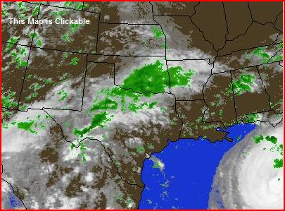 Hurricane Ike and ominous local weather.
Today, we strolled through San Antonio's iconic River Walk, a serene loop beside a meandering river. Despite the high humidity, the walk was delightful. Our next stop was the Alamo, a historic site embodying Texan resilience. The remains of the fort tell the story of the legendary battle between Texian rebels and the Mexican army.
Hurricane Ike continues to shift our plans. Warnings and evacuations are now underway across the Gulf States. Tomorrow's flight to Alpine depends on improving weather, and for now, we monitor conditions hour by hour. On a lighter note, an Obama supporter at the Alamo contributed to our informal election poll, further boosting my confidence in his victory.
River Walk Video
Thursday, September 11, 2008: Big Bend National Park
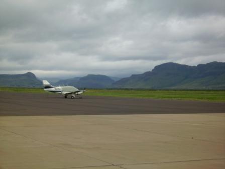 Faithful 51-Juliet at Alpine Airport.
The flight from San Antonio to Alpine began calmly, but turbulent air jolted us, with one bump nearly rolling 51-Juliet. Landing required full instrument procedures due to the dense clouds and high terrain surrounding Alpine. Descending through the mist was nerve-wracking, but we made it safely and celebrated with a satisfying meal.
 A well-earned glass of wine after landing.
Our stay at Terlingua Ghost Town featured accommodations as quirky as the location itself. Following cryptic directions, we arrived to find an empty office and a room with the key left in the door. Despite initial misgivings, the room proved charming and clean, and even Julia found no tarantulas—much to her relief.
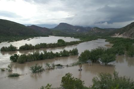 The Rio Grande bursting its banks.
Torrential rain has transformed the desert into a lush, green oasis. The Rio Grande overflowed its banks, and we ended the evening marveling at nature's power, watching lightning illuminate the dark skies from the comfort of our cabin.
Alpine Flight Video
Friday, September 12, 2008
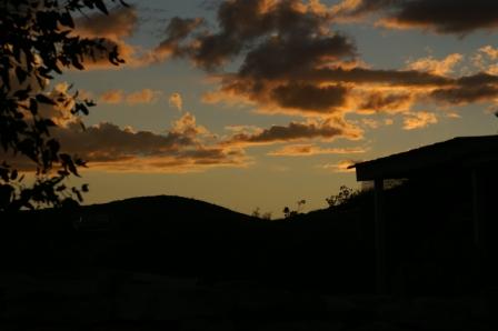 Magnificent sunset over Big Bend.
Big Bend National Park is a geological marvel, a testament to volcanic origins. The recent rains have revealed the park's rare green side. Hiking the Lost Mine Trail, we enjoyed cool weather and breathtaking views. Encountering a tarantula on the trail added a mix of excitement and unease, but the ranger assured us its bite was no worse than a bee sting.
Big Bend Hike Video
Saturday, September 13, 2008
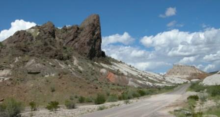 Volcanic formations at Big Bend.
Driving the Ross Maxwell Scenic Route, we marveled at the volcanic history etched into the landscape. Rain has brought a rare bloom to the desert, with ocotillo and Texas sage painting the valley in vibrant hues. Back at the cabin, I helped the owner troubleshoot her WiFi system—a reminder that even in remote areas, technology keeps us connected.
Big Bend Drive Video
Trip stats
Obama: 23
McCain: 5
Undecided: 8
Miles Hiked: 174
Miles Flown: 8,568
Flights Flown: 38
Hours Flown: 63.13
States Visited: 27
Towns Visited: 46